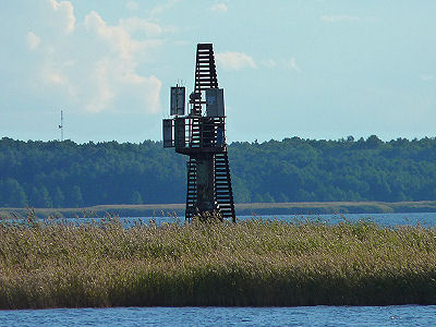
Position: 58° 57,19′ N / 23° 30,82′ E
Internationale Reg. Nr.: C 3656
In Betrieb seit: ?
Tragweite: rot 4 sm
Turmhöhe: 8 m
Feuerhöhe: 7 m
 Fotos 2010: Bernd Claußen
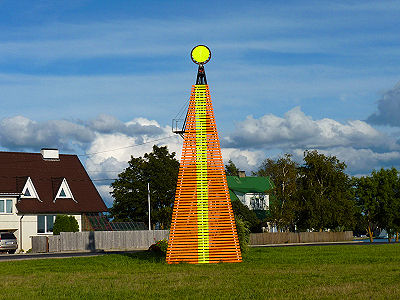
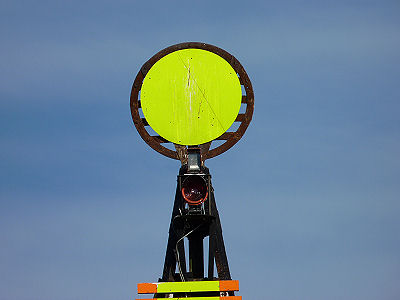
Position: 58° 57,16′ N / 23° 31,45′ E
Internationale Reg. Nr.: C 3656.1
In Betrieb seit: ?
Tragweite: rot 4 sm
Turmhöhe: 12 m
Feuerhöhe: 13 m

